2:24


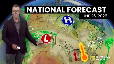
And a good Monday afternoon, folks. Temperatures today were on the cooler side. About 10 degrees below normal at the airport. Normal was 89. We got to 79. Northeast winds, cloud deck out there for a good chunk of the day. Kept temperatures in check. Uh but it won't for much longer. In fact, by the end of the week, look at the stretch of high heat, high humidity. 99 Friday, Saturday, Sunday. Average is 89. With the humidity, it will feel like 105 to 110 for all of those days. as our range of high pressure or heat dome expands its way eastwards encompasses the entirety of the eastern seabboard for the holiday weekend. And when you factor in the humidity, as I mentioned, feeling
like Friday, Saturday, and Sunday, 105 to as high as 110, maybe some spots even a little bit higher than that. So, we've got seasonally warm temperatures for tomorrow, mid 80s. Heating up Wednesday and beyond pretty much straight through early next week. And it's going to be dangerously hot for the holiday weekend. a lot of folks spending a lot of time outdoors. So, you got to be conscious of the heat illnesses and the symptoms of those as they uh start to rapidly onset if you're outside for a prolonged period of time during those time uh during the peak of the heating days. All right, 68 tonight, mostly clear, seasonably mild.
Tomorrow, lots of sunshine, beautiful day, mid 80s. It will still be muggy out there though with due points not going anywhere. And at the beach tomorrow, water temperatures in the mid70s, moderate rip current risk, and UVs at a very high level. And uh air temperatures at the waterfront, upper 70s to around 80. Great beach day tomorrow. All right, northeast winds with us this evening. And overnight, temperatures settling in the mid to upper 60s. Now, by tomorrow, they start to turn more easterly. Lots of sunshine should help us jump into the mid to upper 80s. Overnight Tuesday and early Wednesday, those winds start to turn southerntherly, and that means we are in for a big warm-up starting
Wednesday. A few clouds to start off the day quickly transitioning to a sunny day. Temperatures getting into the low to mid 90s. And once we hit 90s, we ain't going to leave the 90s for about 6 days right into early next week as that south wind just pumps in more heat and more humidity. So weather impact alert Thursday through Sunday for that feels like temperature 105 to as high as 110. So find ways to beat the heat and be conscious of those heat illnesses. There's your Fourth of July weekend. Pretty much each day, copy and paste 99 all three days feeling like 105 to 110. Sunny and dry with just the isolated chance Saturday and Sunday of maybe a stray thunderstorm popping on up in the
afternoon that'll grant some really short-term relief before the humidity just ramps up again. Heat alerts for now are all off to our west and to our north. These will be expanded as we get close to the weekend off to the east. I expect us to at least be under heat advisory, maybe even an extreme heat watch or heat warning with those heat index values getting to that threshold of 110 or greater. All right, here's the extended once we hit Thursday and beyond. Weather impact alert for the extreme heat. Uh temperatures in the upper 90s feeling like much hotter than that. A long stretch of sunny, dry, hot weather with minimal rain chances right into early next week.